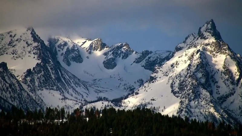
Bozeman, Montana – In Montana, snowpack levels rose on average in all of the basins during the month of March.
According to Eric Larson, a water supply specialist with the USDA’s Natural Resource Conservation Service, snowfall levels rose throughout the month and were higher than in previous years in many valleys, including Gallatin Valley.
He stated that as of early April, he was not overly concerned about the late spring flooding that we saw the previous year, but that his level of anxiety will rely much on the weather and the amount of snowpack that is added during the ensuing two months.
For the month of March, snow-water equivalent levels were above average in many basins in Montana. The average was between 110% and 129% for Gallatin, Upper Yellowstone, Tongue, Madison, Jefferson, and Upper Clark Fork. Between 130% and 140% were the Helena Valley and Smith-Judith-Musselshell basins.
West of the continental divide, several basins are still catching up. They were in the 80% area of the average in February, but now they are in the 90% range.
The primary parameter the NRCS considers when determining spring runoff is snow-water equivalent. That refers to the amount of water present in a sample of snow, according to Larson.
Heavier floods over the past spring and summer were largely driven by a very late warmth and rain on top of the snowpack.
“I would say we start to get concerned when we have excessive snowpack in May, early June when the temperatures are really starting to get very warm for extended periods of time, and there’s potential for rain on snow events,” Larson said. “It’s typically when I start to worry the most about flooding, major flooding, at least.”
However, he added, there is some worry about floods this week. In the valleys, there are roughly 3 to 6 inches of snow-water equivalent. Localized flooding could result from that mixed with the warm weather this week.
All through the spring, Nonstop Local will continue to track snowpack levels.


